Hurricane Laura
On August 26, 2020, DOWs 7 and 8 deployed on Hurricane Laura as it made landfall near the Texas-Louisiana border as a category 4 storm. The story of the deployment was recently featured in the Washington Post (link). Below is a slideshow of some of our pictures and radar imagery from the mission.
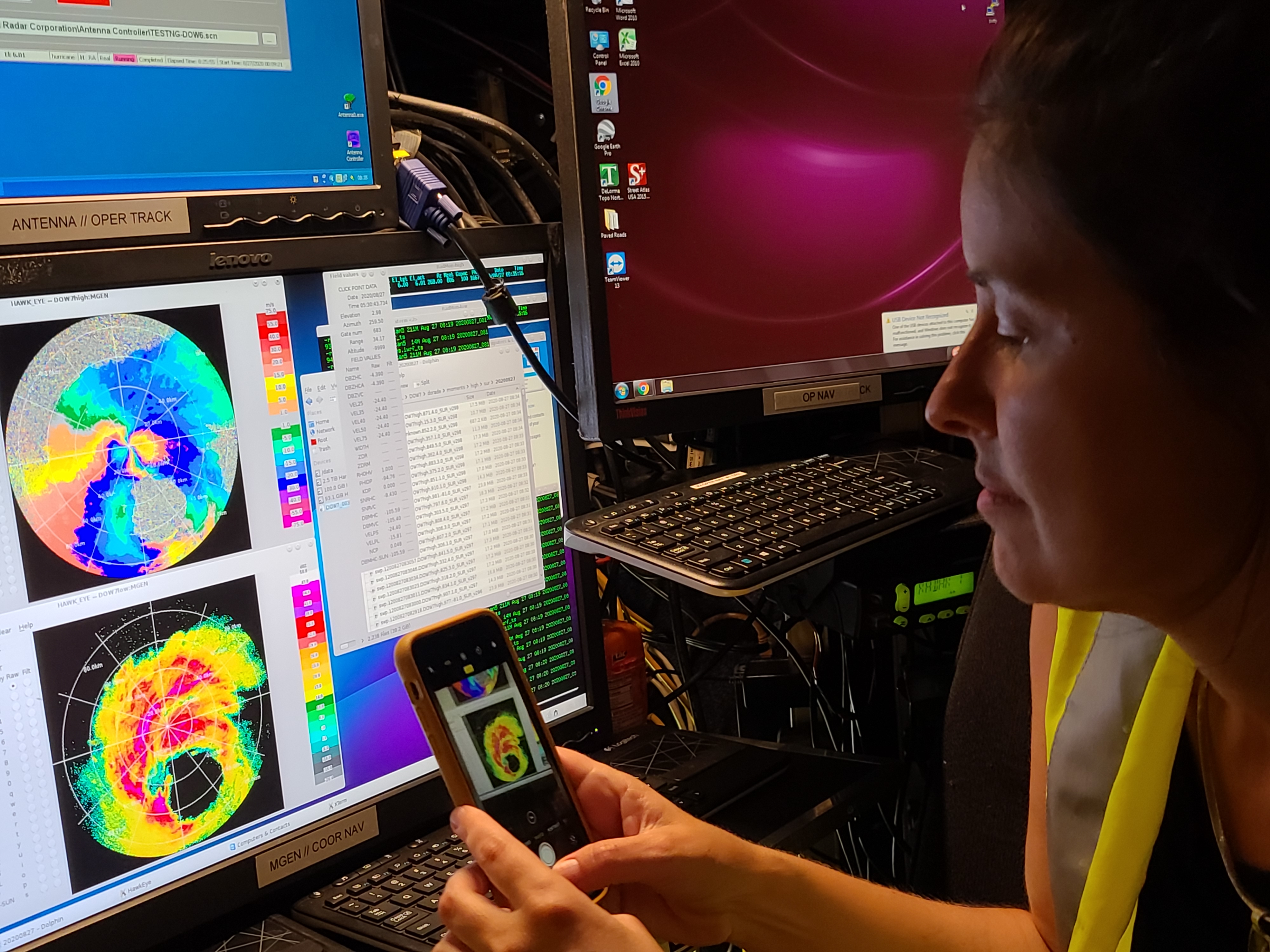
Karen Kosiba takes a picture of the radar display in DOW7.
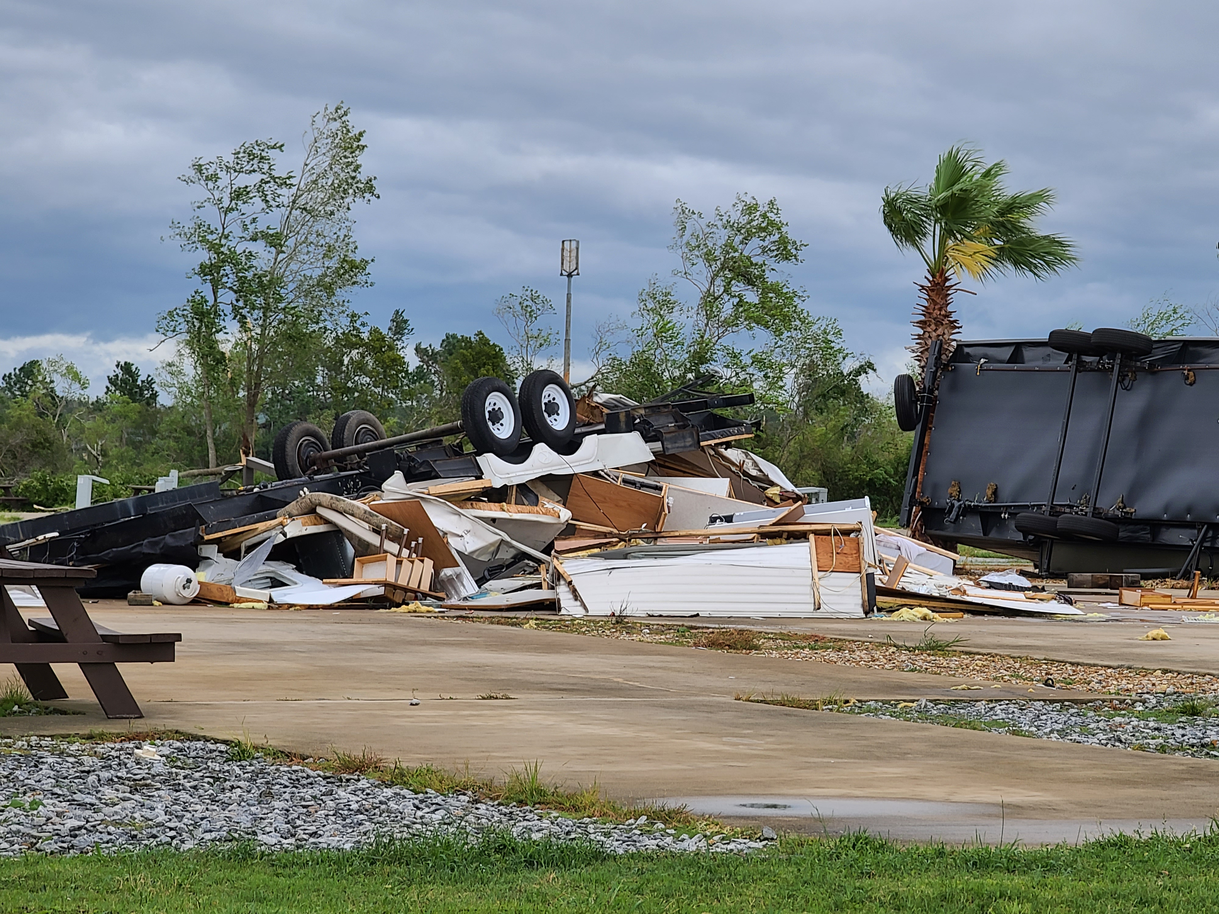
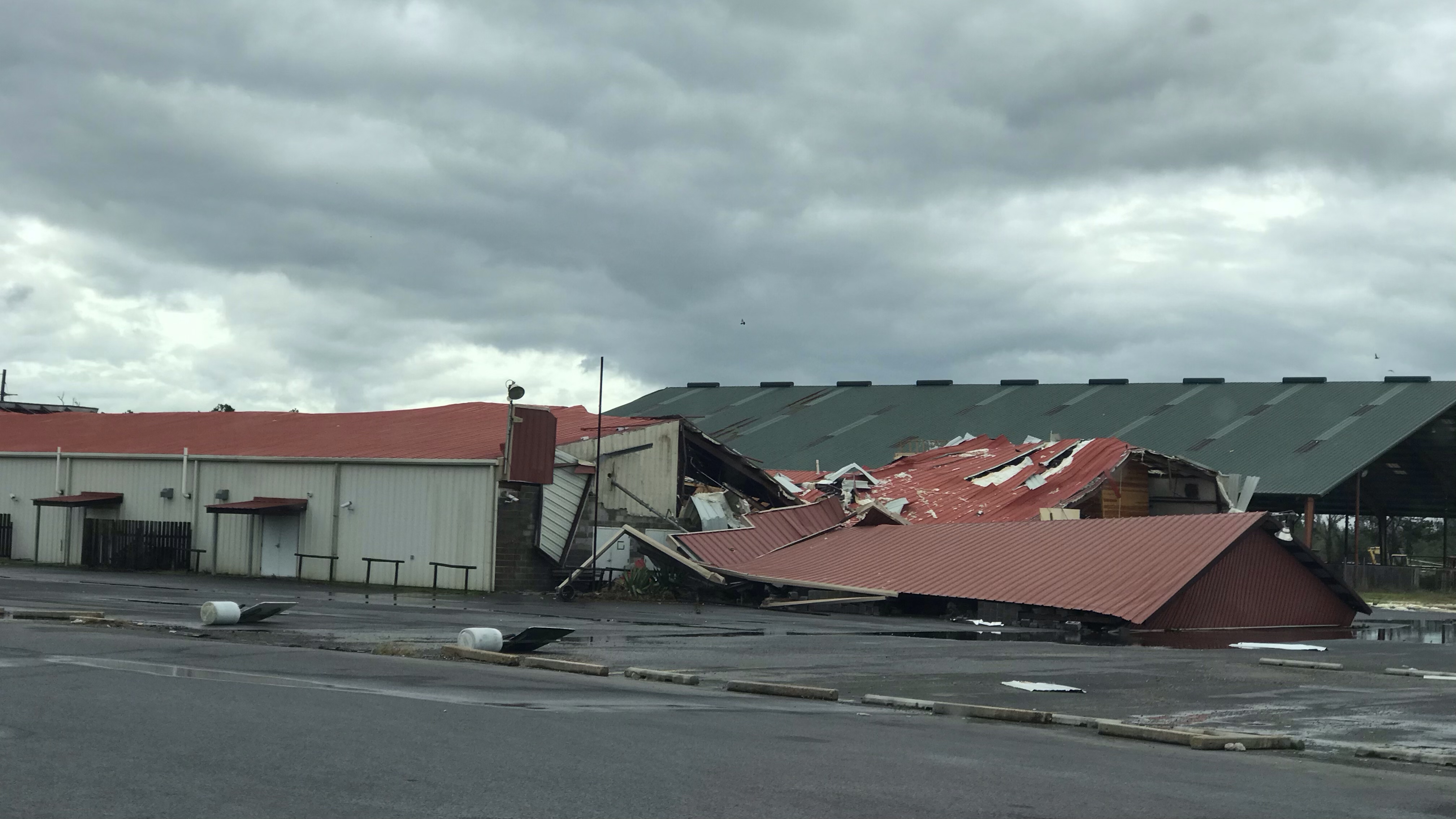
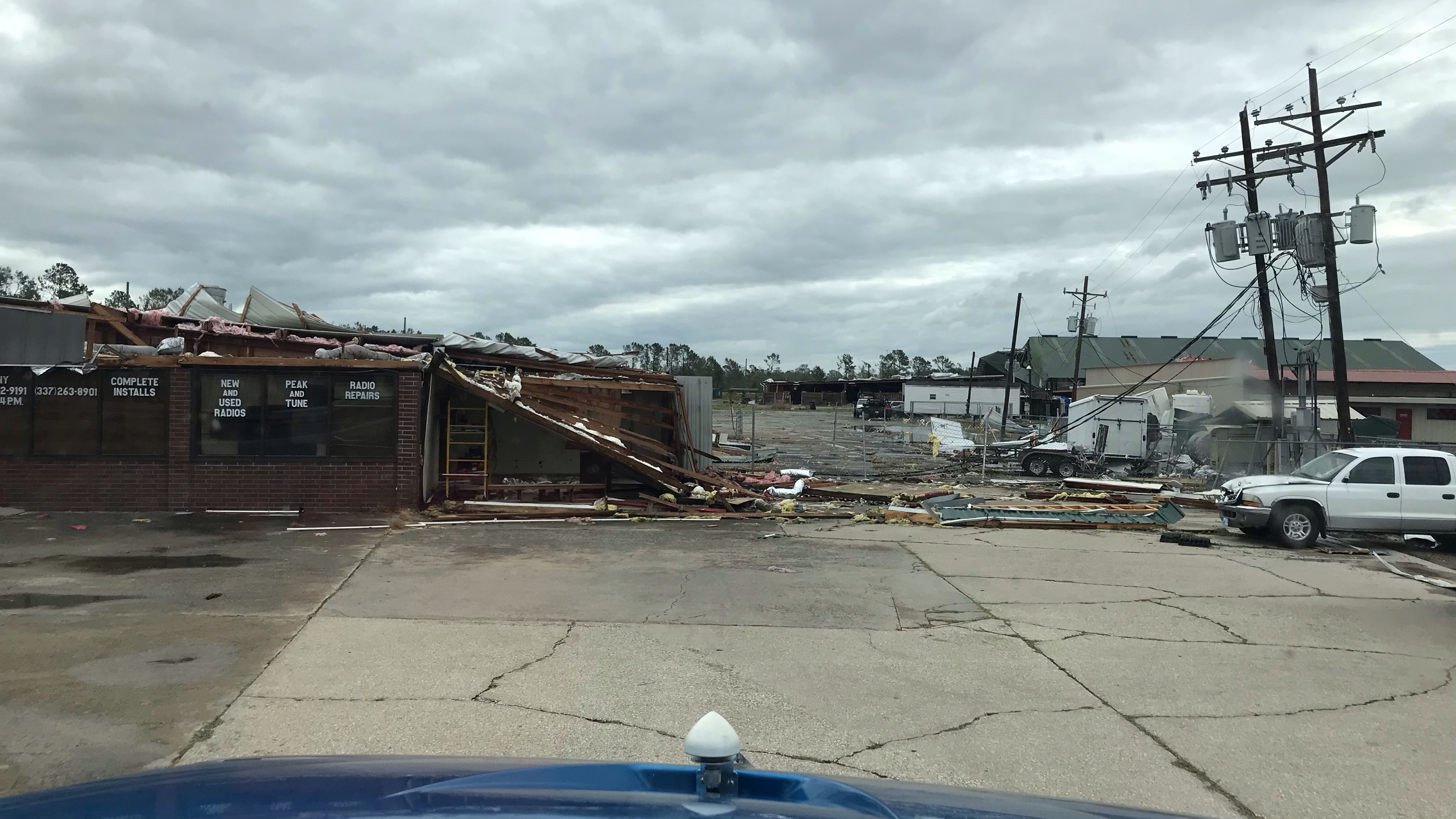
Damage in south-western Lousiana following Hurricane Laura.
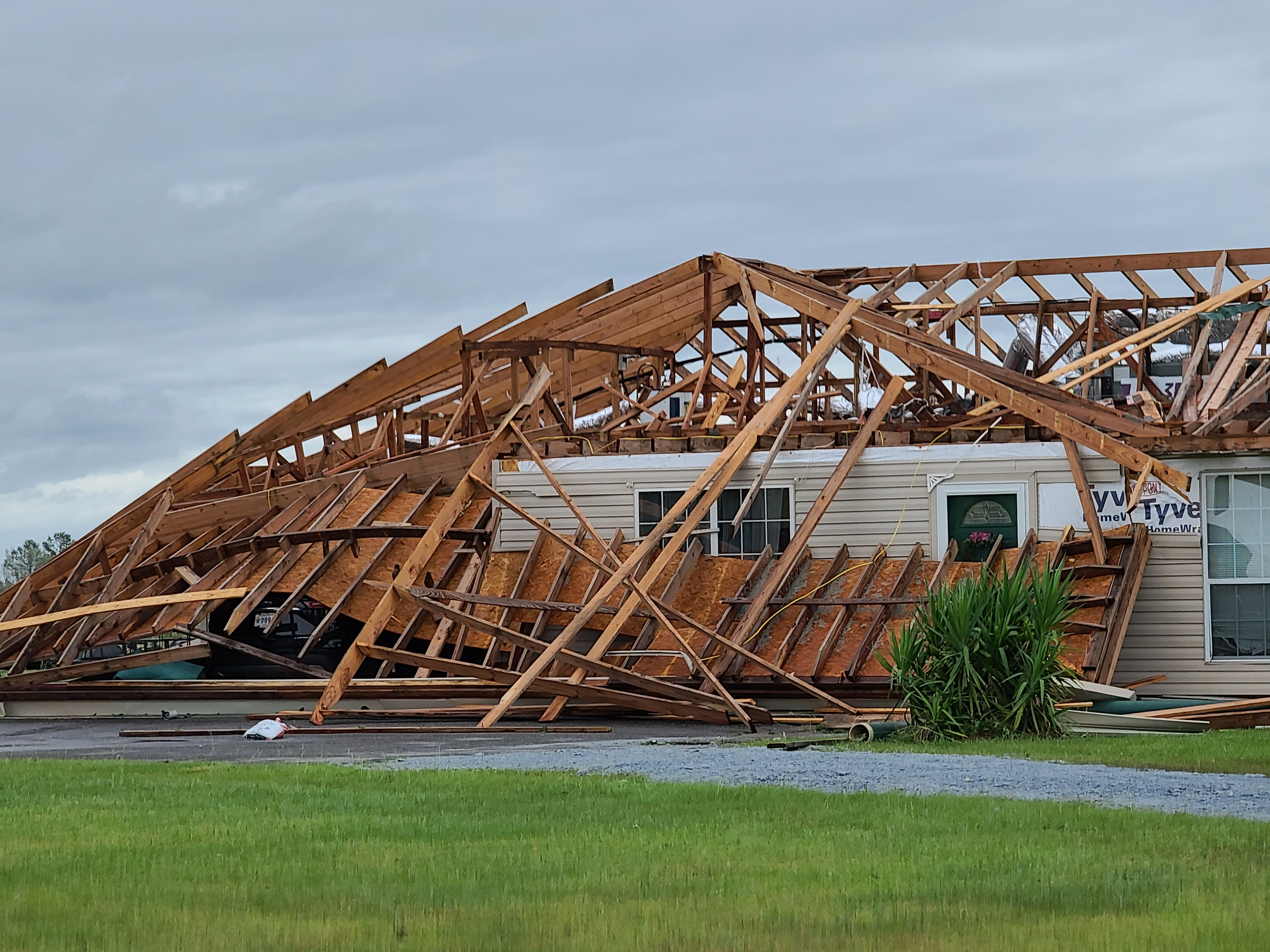
Damage in south-western Lousiana following Hurricane Laura.
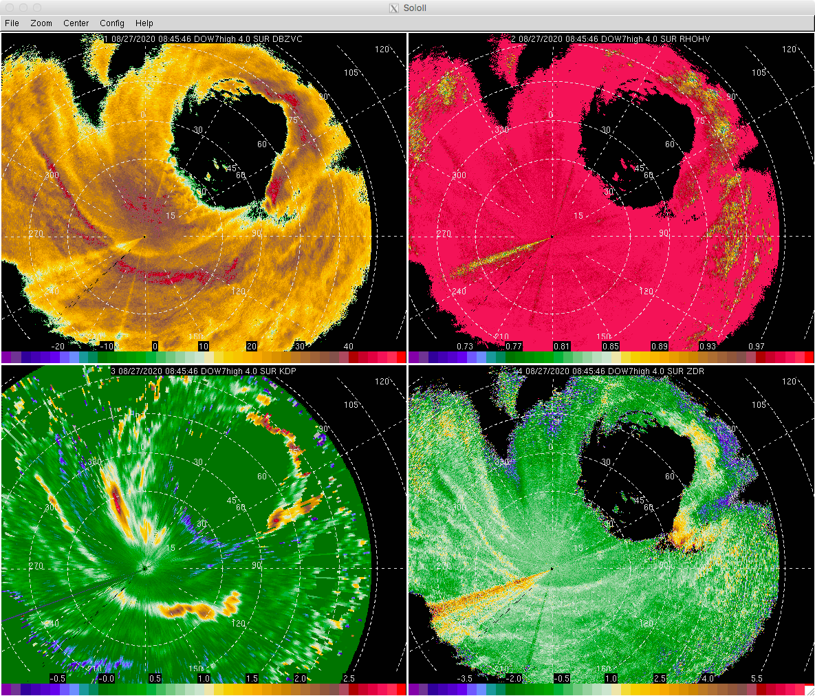
Dual-pol fields in the eyewall and inner rainband. Top-left is reflectivity; Top-right is Rho-Hv; Bottom-left is KDP; Bottom-right is ZDR (offset not applied).
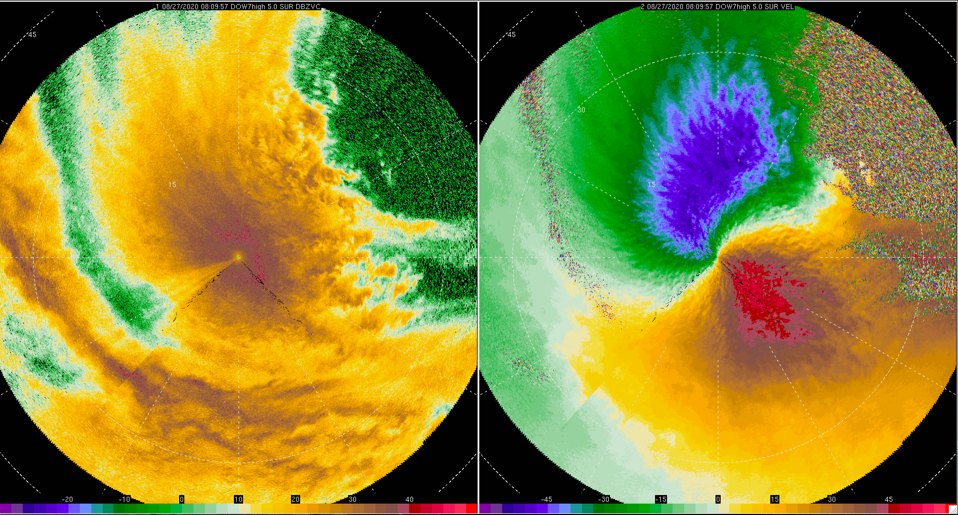
Eye moving away from Lake Charles. Left panel is reflectivity; Right panel is Doppler velocity in m/s.
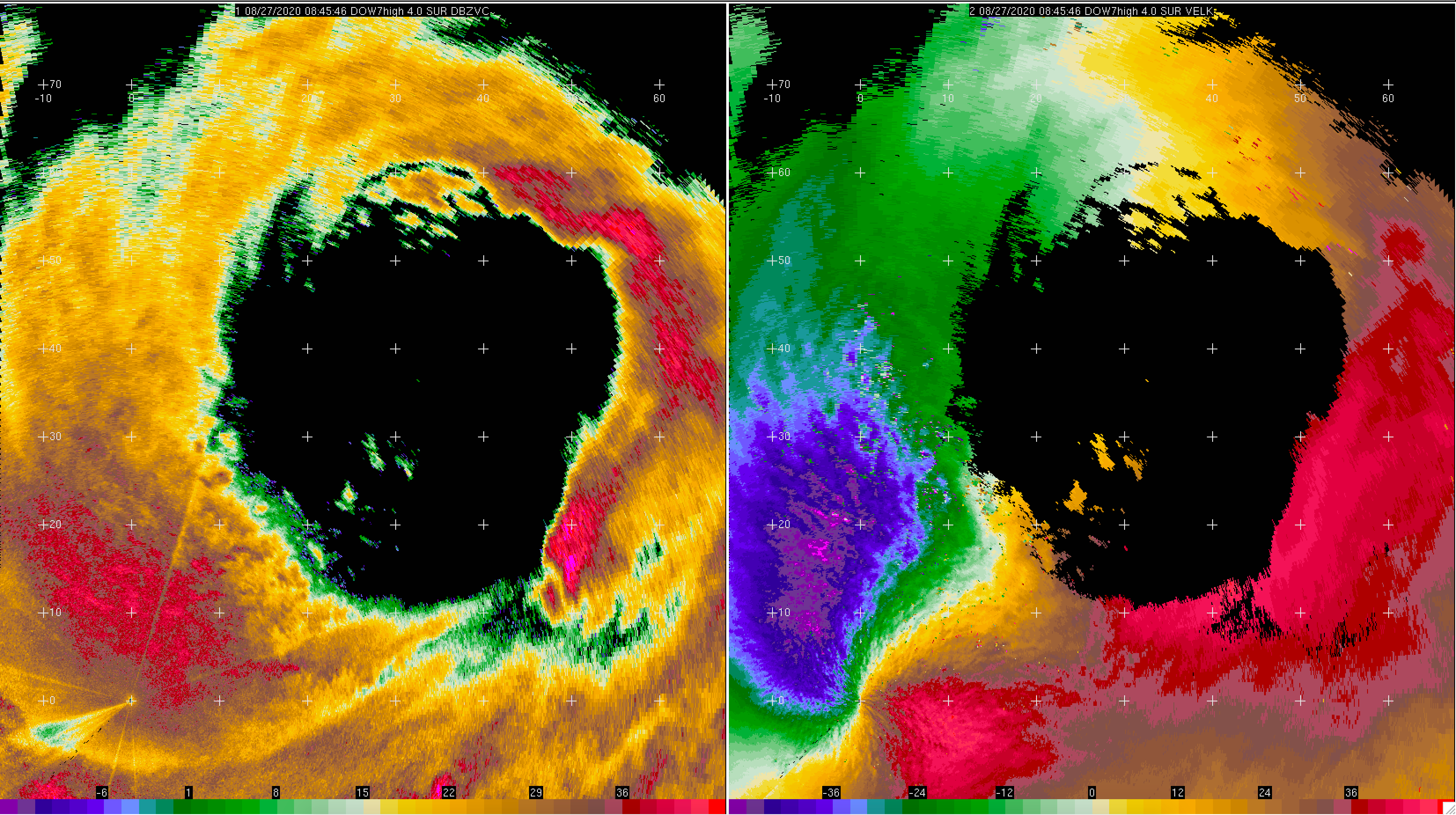
Eye moving away from Lake Charles. Inner eyewall ~15 km to the northeast. Note the finescale structures along the inner edge of the eyewall. Left panel is reflectivity; Right panel is Doppler velocity in m/s.
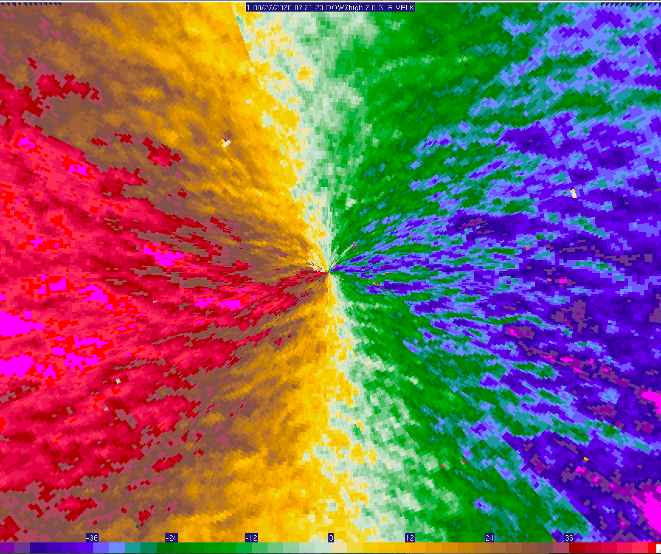
Eye moving away from Lake Charles. Note the various spatial scales of flow in the Doppler velocity (m/s).
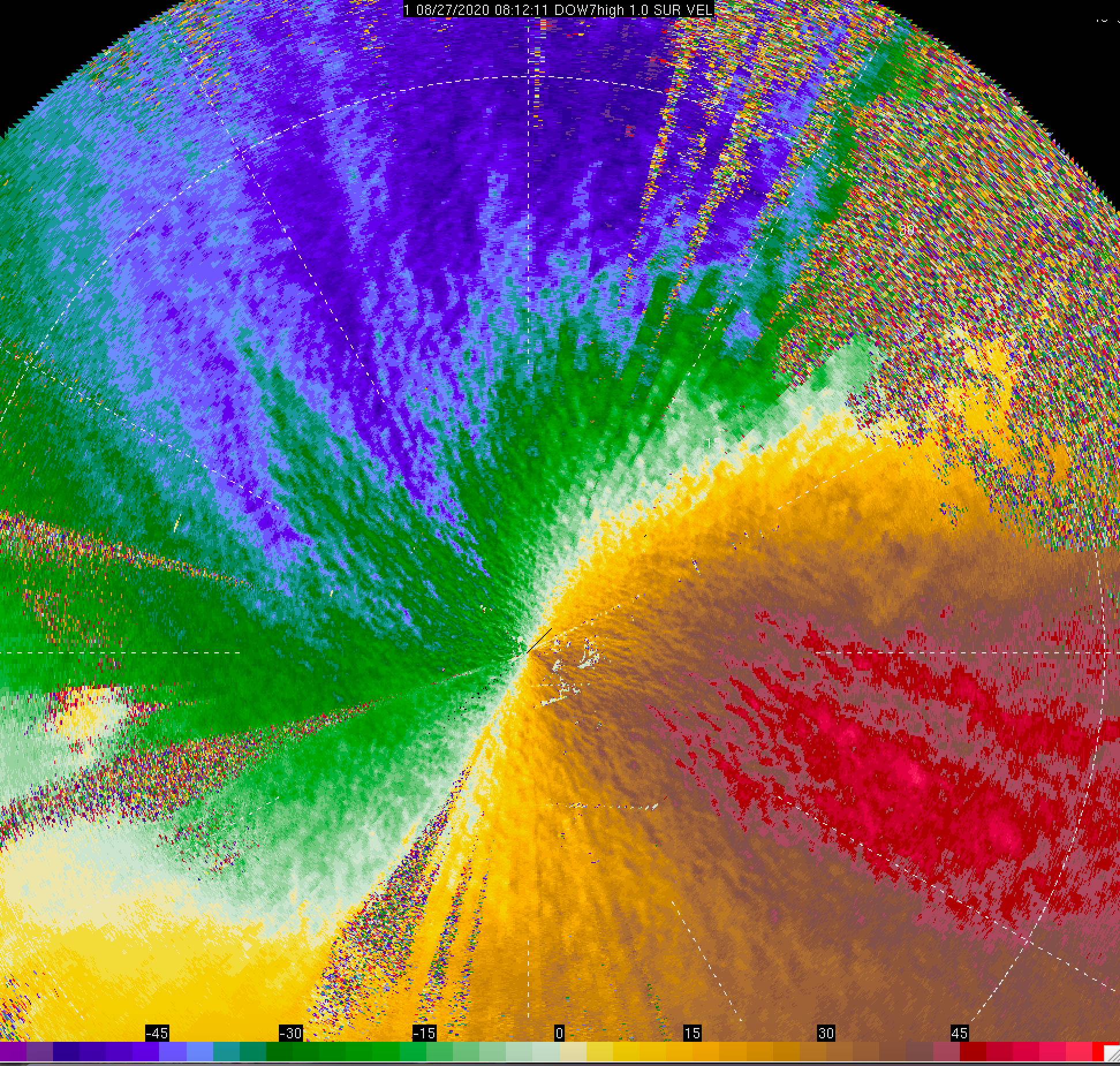
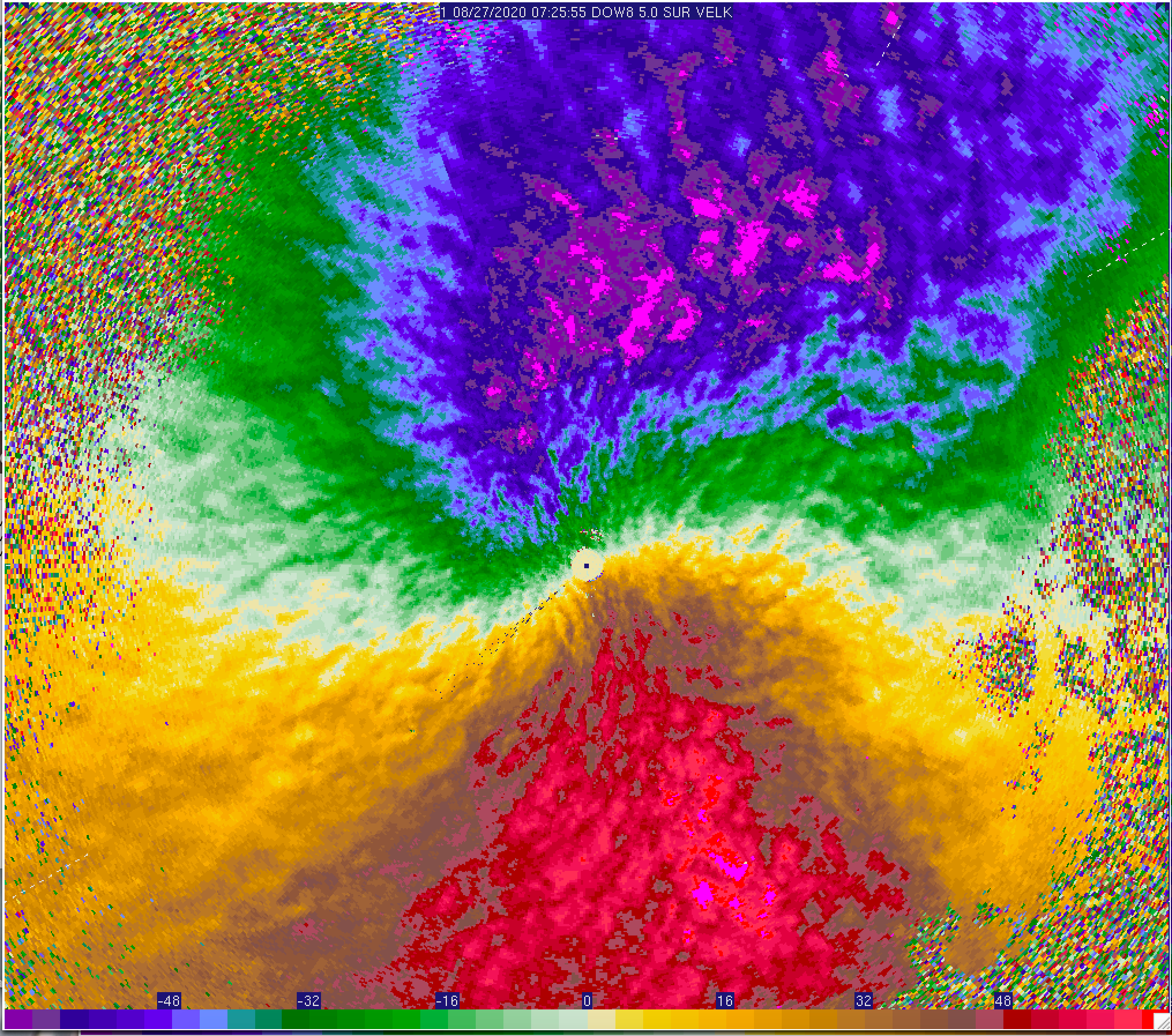
Wind streaks impacting the DOW7 radar location. The peak 1-second just was 49.6 m/s at ~8 m above DOW level (ADL). Doppler velocity in m/s is shown.
Wind streaks impacting the DOW8 radar location, deployed near the radius of maximum winds (RMW). The edge of the eyewall precipitation was ~10 km east of their location. Doppler velocity in m/s is shown.
Inner edge of eyewall showing the small-scale detail of inside RMW crenelations visible in pre-failure KLCH imagery. Left panel is reflectivity; Right panel is Doppler velocity in m/s.
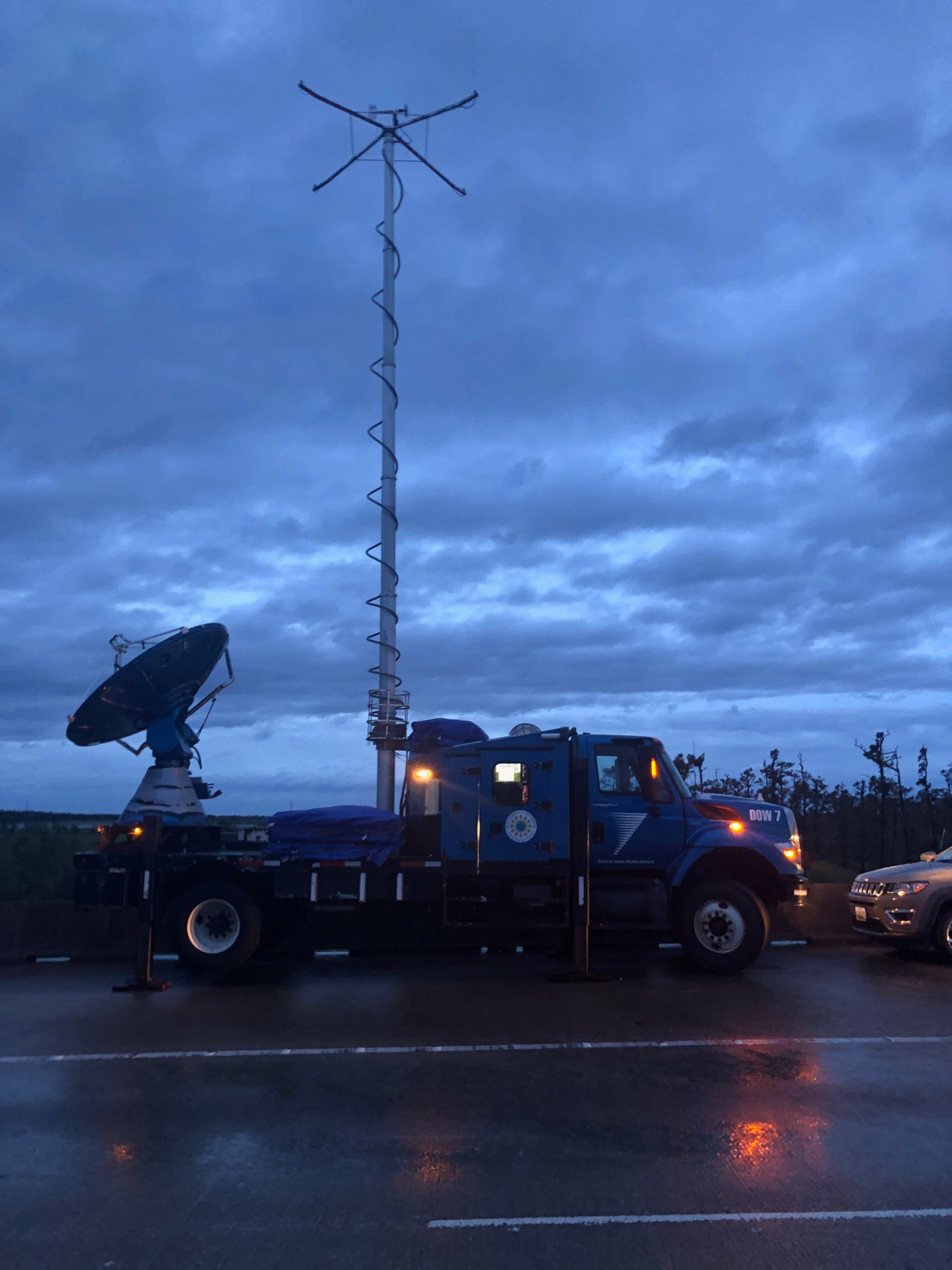
DOW7 on site following the hurricane.
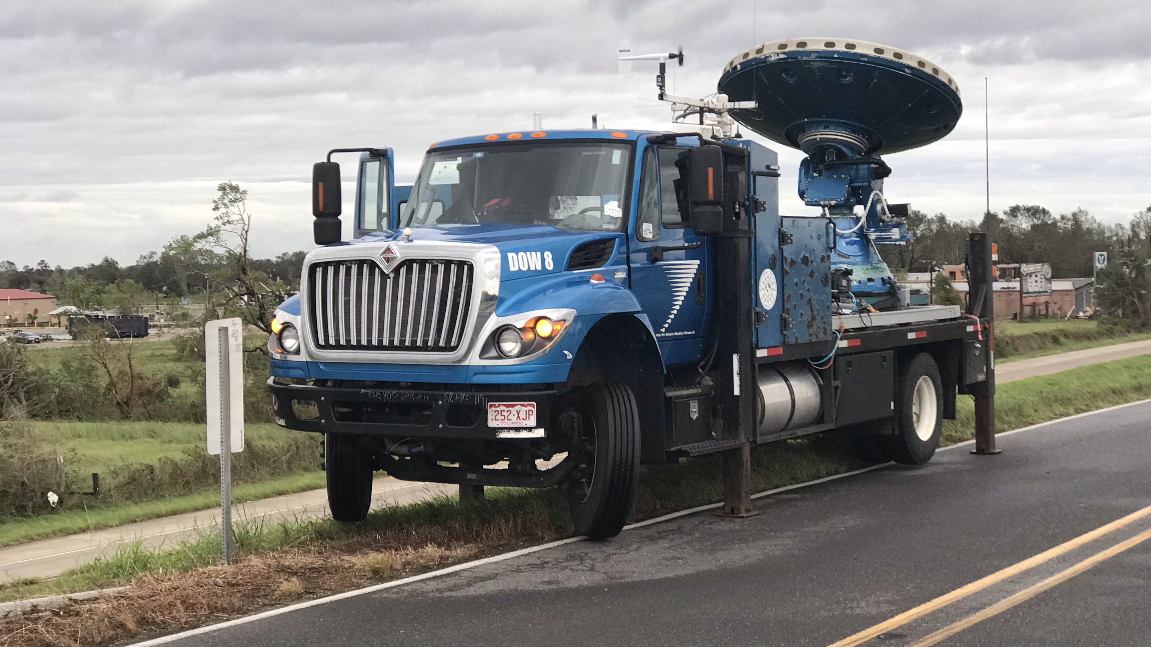
DOW8 on site following the hurricane.
Damage in south-western Lousiana following Hurricane Laura.
Damage in south-western Lousiana following Hurricane Laura.
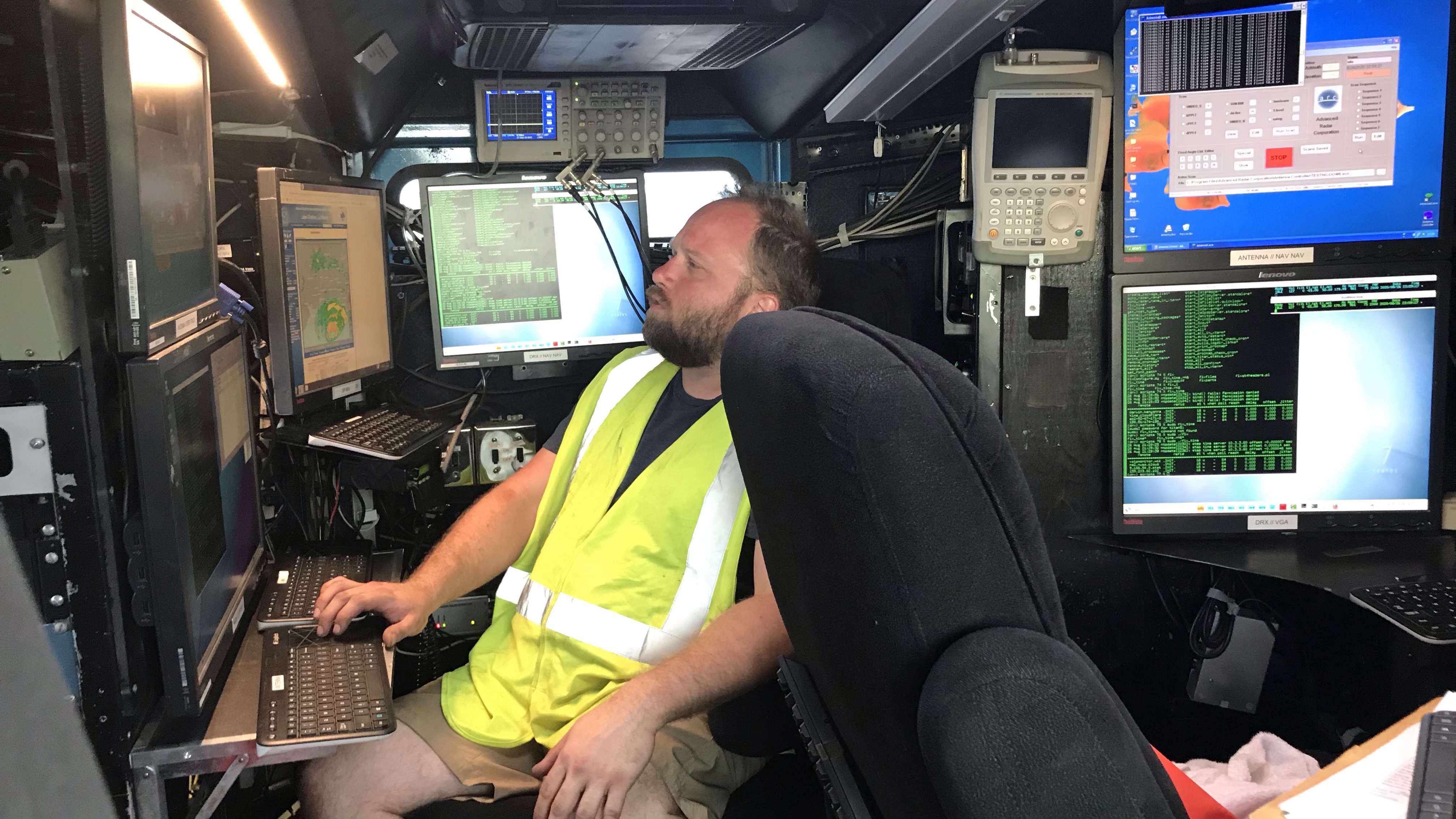
Drew Frambach booting up DOW7 before the hurricane.
❮
❯